
Calexico ZIP Code Coverage
Calexico postal coverage has two entries with different geographic meanings. USPS identifies one as the standard street-delivery code and the other as a PO-box or non-geographic delivery code. The postal city label can extend beyond incorporated Calexico, so a table row is a routing clue rather than a city-boundary statement.
| ZIP | Areas Covered | Post Office | Notes |
|---|---|---|---|
| 92231 | Calexico street delivery and a broader southern Imperial County postal area, including rural locations beyond incorporated limits | Calexico Post Office, 1101 Ollie Avenue | Standard delivery code; mailing city does not prove city jurisdiction |
| 92232 | Calexico PO boxes and non-geographic delivery | Calexico Post Office | Cannot be mapped as a residential neighborhood or parcel area |
The official record does not identify a ZIP split or realignment year for Calexico. Use USPS address verification for a specific delivery address, and use county or city GIS for the legal jurisdiction. The two functions should not be blended into one boundary map.
The official Calexico Post Office listing supplies the station reference for the coverage table.
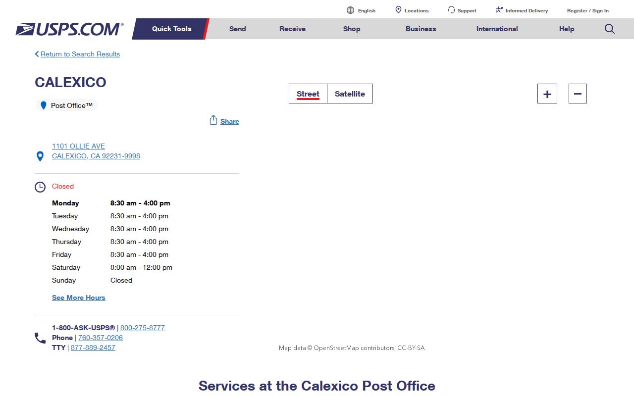
The post-office source confirms the local delivery point, but the address alone does not turn either ZIP into a named-resident list.
Why 92231 Reaches Beyond Calexico
92231 is the standard street-delivery code associated with Calexico, yet the documented postal area is broader than the incorporated city. Rural southern Imperial County locations can use a Calexico mailing city even when their parcels lie outside the city line. That matters when a request is sent to a city department, the Imperial County Assessor, or a county court.
Postal geography follows delivery routes. It does not create a parcel, decide an APN, assign a zoning district, or prove that an address sits inside city jurisdiction. Before asking for a permit, code file, assessment record, or municipal record, compare the physical address with the jurisdiction layer in county or city GIS. Ask Planning, Engineering, or Imperial County GIS when the line is unclear.
A ZIP-wide count also needs care. A set of 92231 addresses can include incorporated and unincorporated land, different custodians, and different kinds of property. It should not be presented as a count of Calexico households or as a named residents directory.
Note: A Calexico mailing city can be correct for delivery while a county office, not the city, holds the related land record.
What 92232 Can Locate
92232 is the Calexico PO-box or non-geographic delivery code. It can identify a postal box route, but it cannot locate a residential neighborhood, a parcel, or a block. A PO box may receive mail for a person whose physical address is elsewhere, and a person may use a box for privacy, business, or ordinary mail management.
Do not feed 92232 into a parcel map and assume the result is a neighborhood. Use the physical address or APN for land research, the RecorderWorks index for recorded instruments, and the appropriate custodian for a court, vital, voter, or business question. A box number is a mailing clue only.
The PO-box distinction is a useful test for every postal result: ask whether the code describes a carrier route, a box section, or a place that can be drawn on a parcel map.
USPS Fields for a Calexico ZIP Check
USPS provides three search modes: Find by Address, Cities by ZIP Code, and ZIP Codes by City and State. The address mode standardizes a delivery address and may return ZIP+4. The reverse modes verify which city and state correspond to a five-digit code. None of the modes returns residents, property owners, parcels, or voter information.
The USPS ZIP Code Lookup is the source for the field set below.
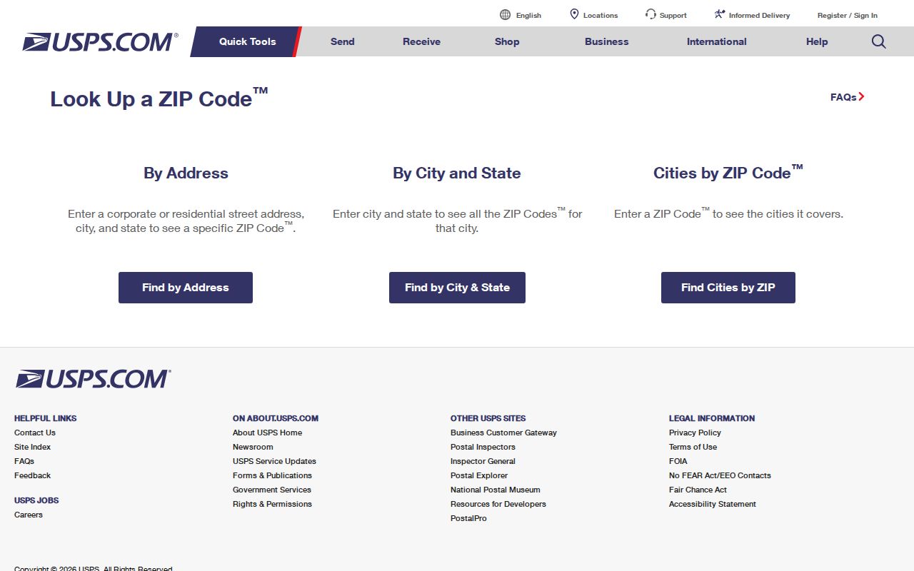
The USPS form is a delivery validator. Its result should be carried into a county or city record search only after the physical address and jurisdiction have been checked.
| Street Address | Required in address mode; enter the delivery address, not an APN or legal description. |
|---|---|
| Apt, Suite, or Other | Optional secondary-unit field that can improve ZIP+4 precision. |
| City | Required in address mode; use the accepted mailing city for the address being tested. |
| State | Required selection; choose California or CA. |
| ZIP Code | Five-digit input for reverse city or ZIP searches; ZIP+4 can appear in a standardized result. |
| Find and Reset | Submit the query or clear the form, depending on the interface view. |
USPS can tell whether an address is formatted for delivery. It cannot tell whether a resident owns or occupies the parcel. That last question belongs to other records and must be framed with the limits of each custodian.
Finding Calexico Residents by ZIP Code
A postal-to-record search becomes a records workflow only after the code is verified. Neither the official Assessor description nor RecorderWorks advertises a public ZIP filter. My Voter Status authenticates one voter and cannot browse another person's ZIP. Build the geographic set from addresses or GIS, then send each question to the office that actually keeps the record.
- Use USPS Find by Address to standardize the street address and confirm the five-digit code or ZIP+4.
- Use the Imperial Assessor's ParcelQuest Lite with a physical address or APN. Do not promise an owner-name or ZIP-wide input that the official description does not advertise.
- Open the Assessor kiosk and Geo Viewer to inspect parcel polygons and jurisdiction layers. Record APNs one parcel at a time when a geographic set is needed.
- Ask the Assessor whether an existing roll extract can be provided. Request an existing record rather than asking staff to build a new named list.
- Move from the ZIP to the street and parcel record. The Calexico street directory workflow is the better fit once an address is known.
This sequence keeps a postal result from being mistaken for a resident result. A parcel may have an owner mailing address outside the property, a rural 92231 address may fall outside city limits, and a PO box may not identify land at all.
Build a Calexico ZIP Set Without a Filter
When a portal has no ZIP search, geography must be assembled with care. Start with the official ZIP result, list the physical addresses that are in scope, and use the Assessor Geo Viewer to inspect parcel boundaries and jurisdiction. If an export or assessment-roll extract is available, confirm that the office is providing an existing dataset and ask which fields, date, and area it covers.
RecorderWorks can search by parcel number, map, name, document number, document type, and recording date, but its public description does not advertise a ZIP mode. Use the APN as the bridge from postal address to recorded instrument. Older deeds and indexes remain a counter task when the instrument predates the online index.
Election geography is different again. County precinct maps, statements of vote, and aggregate reports can describe an area, while voter-level data is restricted by Elections Code section 2194 and 2 CCR sections 19001 through 19013. A ZIP should not be used as a shortcut to a casual street roster.
Search boundary. A ZIP-wide resident set is not an advertised Assessor, RecorderWorks, or My Voter Status mode. Build the geography through GIS or request an existing roll extract from the custodian.
Calexico ZIP Code Geography Has Four Layers
ZIP, ZCTA, city limits, GIS, and APN are related terms, but they are not synonyms. The postal layer follows USPS delivery. A Census ZCTA approximates a delivery area for statistical work. A city boundary follows municipal jurisdiction. GIS shows a selected map layer, and an APN identifies an assessment parcel. Each can be useful while answering a different question.
- ZIP versus ZIP+4
- A five-digit ZIP identifies a delivery area; ZIP+4 adds a more precise delivery segment for a standardized address.
- PO-box ZIP
- A code used for postal boxes or non-geographic delivery. It cannot stand in for a residential boundary.
- Unique ZIP
- A code assigned to one organization or specialized delivery point. No Calexico unique ZIP was verified in the research.
- Carrier route
- A delivery grouping used by the postal system. It is not a city district, parcel, or household list.
- APN
- An assessor parcel number that ties land to county assessment and mapping records; it can change after parcel actions.
The distinction matters most at the Calexico edge. A postal label can reach rural land, while a parcel polygon can fall under a county office and a border facility can involve a federal custodian. Use the layer that answers the question instead of drawing a boundary from the easiest field.
Three Calexico Address Identities
Every postal result should be translated into three address identities. The situs is the physical location used by assessment and GIS. The mailing address tells a tax office or other custodian where to send correspondence, and it may be a PO box or an out-of-area address. The legal description identifies the land through subdivision, lot and block, parcel, or metes-and-bounds language.
ParcelQuest Lite accepts APN or physical address and advertises basic characteristics plus parcel-map download or printing. The official description does not advertise an owner-name input. RecorderWorks can carry the APN or map clue into a recorded-document search. Neither portal proves who sleeps at the situs, and matching mailing and situs addresses are only suggestive.
Keep the address form that produced the result. A USPS standardized line, a county situs field, and a deed legal description may all refer to the same land while using different labels. Preserve APN, subdivision, lot, block, cross streets, and map references when a later request needs to bridge them.
Calexico ZIP Codes Meet Federal Custodians
Calexico's border setting creates mixed record geography. Streets and postal routes can meet port facilities, federal property, incorporated land, and rural county parcels. A postal code does not decide whether a request belongs with Calexico, Imperial County, a federal agency, or another custodian. Confirm the jurisdiction layer before sending a records request.
The Southern District of California is the federal district covering Imperial County.
The federal court source is relevant to custody, not delivery: federal matters use federal court systems and PACER, while a ZIP remains only a mail-routing clue. Federal filings can contain parties, counsel, docket events, or judgments, subject to sealed and restricted records.
For a land or address question near a border facility, ask Calexico Planning or Engineering, Imperial County GIS, or the relevant federal office which jurisdiction owns the record. USPS validates delivery and does not create a legal parcel, a city limit, or an emergency address assignment rule.
Calexico ZIP Address Scams and Reports
A postal code can appear in a records-themed scam because it makes a message look local. Verify the document, office, and phone number independently before paying or sharing personal details. Imperial County publishes official routes for the recorder and court, and the State Controller's unclaimed-property search is free.
- A deed-copy mailer may offer an overpriced copy. Verify the document number with Imperial Clerk-Recorder at (442) 265-1075.
- A property-fraud caller may claim a transfer and demand immediate payment. Search RecorderWorks and call the published office number.
- An unclaimed-money message may demand a finder fee. Check the California State Controller search before responding.
- A court or jury message may demand gift cards or cryptocurrency. Confirm it with Imperial Superior Court at (760) 482-2200.
The FTC fraud-reporting portal is the source linked for a national report and recovery guidance.
The FTC route can document a scam report, while a local threat or immediate fraud concern belongs with Calexico Police or the relevant county office.
Mismatch warning. A ZIP can look local while the parcel, city line, court, or federal custodian lies elsewhere. Verify the address and record owner before relying on a result.